GEOSPATIAL VISUALIZATION AND ANALYSIS
Reveal crucial geospatial information and expose hidden geographic relationships to make better geographic location decisions.
Qlik GeoAnalytics allows you to make better decisions based on geographic area information thanks to its powerful location mapping and analysis deployed in Qlik Sense and QlikView.
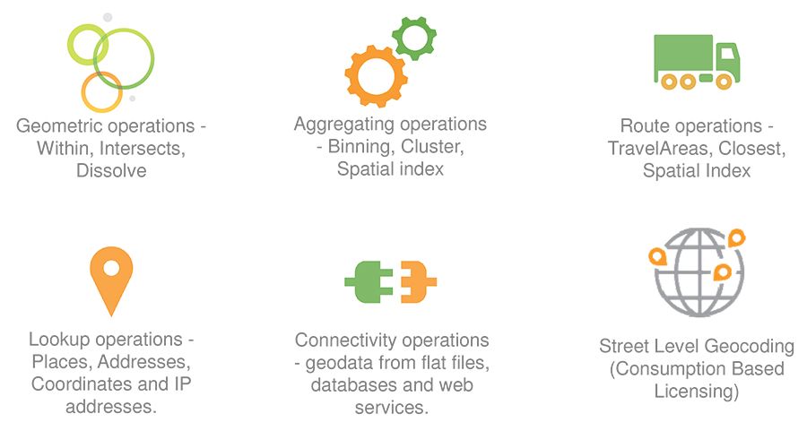
Qlik GeoAnalytics not only has comprehensive mapping capabilities, it also allows us to move in a visualization environment that includes native support for broad ranges of advanced geoanalytics; in many cases, helping analysts receive geospatial information that can be crucial, as well as exposing geographic relationships that can normally be hidden. Thanks to its patented technology for compressing and transmitting map information, both Qlik Sense and QlikView users can now understand how geographic space begins to accumulate data of interest, offering discoveries in business, allowing you to make better decisions and eventually allow a much higher return on investment.
Qlik can now increase data relationship capabilities by including a familiar user environment. With the ability to quickly display cartographic information, users can discover even more patterns that are not so easily interpreted in tables or graphs, in order to understand the power that data gives to business decisions.
Qlik GeoAnalytics gives us powerful map visualizations and analysis based on geographic location, deploying in Qlik Sense and QlikView with patented technology that compresses and transmits geoanalytical data.
This tool allows you to easily add maps by automatically searching for geographical data and then overlay the different visualizations. In addition, you can analyze geospatial or geographic data in combination with non-geographic data to discover geographic relationships that would otherwise be hidden.